Log in
All resources
Create a design
4,430 Free Artworks of Maps With View Images
arnold's geographical handbook (1899)
the comprehensive history of england (1876)
english-language maps showing history
1870s maps showing history
asia noviter delineata
willem blaeu
nouveau cours d'instruction primaire de géographie (1886)
physical geography (1899) by davis
maps from the earth and its inhabitants, vol. ix
shadows of the east; or, slight sketches of scenery, persons and customs, from observations during a tour in 1853 and 1854, in egypt, palestine, syria, turkey, and greece (1855) by tobin
arnold's geographical handbook (1899)
1899 maps of europe
arnold's geographical handbook (1899)
1890s maps of austria-hungary
arnold's geographical handbook (1899)
1890s maps of ireland
arnold's geographical handbook (1899)
1890s maps of scotland
arnold's geographical handbook (1899)
1899 maps of the united kingdom
arnold's geographical handbook (1899)
1899 maps of africa
arnold's geographical handbook (1899)
1899 maps of the world
arnold's geographical handbook (1899)
1899 maps of africa
arnold's geographical handbook (1899)
1899 maps of south america
arnold's geographical handbook (1899)
1890s maps of ireland
arnold's geographical handbook (1899)
1890s maps of canada
arnold's geographical handbook (1899)
1899 maps of africa
arnold's geographical handbook (1899)
1899 maps of asia
tombleson's views of the rhine (1832)
loreley in art
st.-gertrud-kirche (hamburg-uhlenhorst)
maps of hamburg by braun & hogenberg
old maps of the holy land
1866 maps
physical geography (1899) by davis
monsoon maps of india
physical geography (1899) by davis
1899 maps of new york (state)
maps of the gulf of suez
1866 maps
1890s maps of north carolina
1899 maps of south carolina
19th-century maps of cairo
1866 maps
physical geography (1899) by davis
1890s maps of hungary
physical geography (1899) by davis
19th-century maps of normandie
old maps of the holy land
1866 maps
backs of postcards in curt teich postcard archives
the comprehensive history of england (1876)
english-language maps showing history
historical collections of the state of new jersey (1852)
1850s maps of new jersey
maps from the earth and its inhabitants, vol. iv
stockton-on-tees
paris à travers les âges
lithographs of paris
orientalist painting
old maps of dakar
asia noviter delineata
arab people in art
asia noviter delineata
chinese people in art
asia noviter delineata
armenians in art
asia noviter delineata
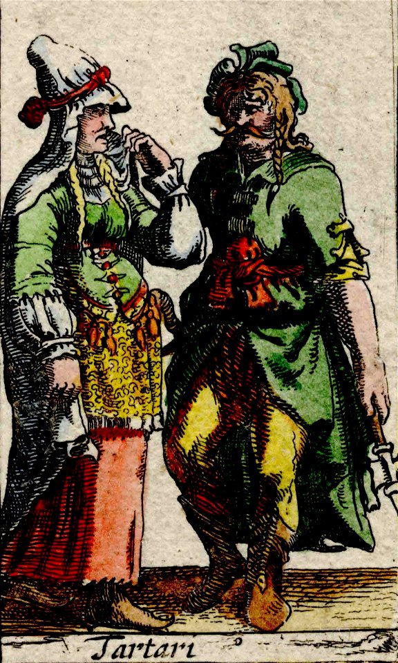
tatar people in art
maps from the earth and its inhabitants, vol. v
maps of scandinavia
maps from the earth and its inhabitants, vol. xvii
maps of minneapolis
maps from the earth and its inhabitants, vol. ix
maps of herat
maps from the earth and its inhabitants, vol. xiv
maps of australia
maps from the earth and its inhabitants, vol. viii
maps of india
maps from the earth and its inhabitants, vol. ix
maps of tehran
maps from the earth and its inhabitants, vol. vii
maps of lhasa
maps from the earth and its inhabitants, vol. xvi
maps of mexico
maps from the earth and its inhabitants, vol. v
maps of scandinavia
maps from the earth and its inhabitants, vol. ix
maps of tehran
maps from the earth and its inhabitants, vol. x
maps of uganda
maps from the earth and its inhabitants, vol. ix
maps of kandahar
maps from the earth and its inhabitants, vol. vii
maps of keelung
maps from the earth and its inhabitants, vol. v
maps of scandinavia
maps from the earth and its inhabitants, vol. ix
maps of the tigris
maps from the earth and its inhabitants, vol. xi
maps of benghazi
maps from the earth and its inhabitants, vol. iii
maps of the rhine
maps from the earth and its inhabitants, vol. viii
maps of india
asia noviter delineata
1617 drawings
asia noviter delineata
1617 drawings
maps from the earth and its inhabitants, vol. xii
sokoto
maps from the earth and its inhabitants, vol. xvii
natchez
maps from the earth and its inhabitants, vol. v
nyoe
postcards of gardone riviera
postcards by erwin spindler
a pilgrimage to italy (1899)
1890s maps of italy
images released by british library images online, march 2014
british library asia, pacific and africa collections
the atlantic islands as resorts of health and pleasure (1878)
isles of shoals
blandt nordpolens naboer (1895)
inglefield gulf
17th-century maps of london
kennington, london
the earth and its inhabitants, vol. ix: asia, vol. iv
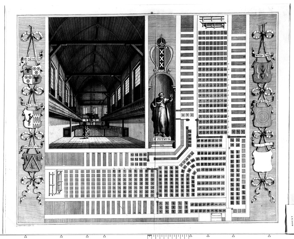
construction drawings in the stadsarchief amsterdam
binnengasthuis, amsterdam
nouveau cours d'instruction primaire de géographie (1886)
19th-century maps of guadeloupe
nouveau cours d'instruction primaire de géographie (1886)
19th-century maps of martinique
nouveau cours d'instruction primaire de géographie (1886)
old maps of french guiana
nouveau cours d'instruction primaire de géographie (1886)
old maps of réunion
nouveau cours d'instruction primaire de géographie (1886)
old maps of new caledonia
nouveau cours d'instruction primaire de géographie (1886)
maps of the colonies of france
the cruise of the marchesa (1889)
mapun
old maps of the nile delta
1850s maps of egypt
shadows of the east; or, slight sketches of scenery, persons and customs, from observations during a tour in 1853 and 1854, in egypt, palestine, syria, turkey, and greece (1855) by tobin
maps of upper egypt
shadows of the east; or, slight sketches of scenery, persons and customs, from observations during a tour in 1853 and 1854, in egypt, palestine, syria, turkey, and greece (1855) by tobin
1850s maps of palestine
shadows of the east; or, slight sketches of scenery, persons and customs, from observations during a tour in 1853 and 1854, in egypt, palestine, syria, turkey, and greece (1855) by tobin
1850s maps of palestine
shadows of the east; or, slight sketches of scenery, persons and customs, from observations during a tour in 1853 and 1854, in egypt, palestine, syria, turkey, and greece (1855) by tobin
1855 maps of spain
19th-century maps of normandie
through normandy (1874)
a pilgrimage to italy (1899)
19th-century maps of rome
nouvelle géographie universelle, vol. viii
maps of gwalior
the history and antiquities of the parish of lambeth, and the archiepiscopal palace (1827)
1640s maps of london
old maps of ancient rome (city)
a pilgrimage to italy (1899)
the history and antiquities of the parish of lambeth, and the archiepiscopal palace (1827)
1640s maps of london
a pilgrimage to italy (1899)
19th-century maps of venice
nouvelle géographie universelle, vol. xiii
maps of congo
imperial india; an artist's journals (1879)
pre-raphaelite brotherhood
manners, customs, and condition of the north american indians (1841)
realism
maps from the earth and its inhabitants, vol. iv
queensferry crossing
too late for gordon and khartoum (1887) by macdonald
1880s maps of sudan
maps from the earth and its inhabitants, vol. iv
peterborough
too late for gordon and khartoum (1887) by macdonald
maps of the mahdist war
maps from the earth and its inhabitants, vol. iv
dumbarton
the comprehensive history of england (1876)
english-language maps showing history
the comprehensive history of england (1876)
english-language maps showing history
the comprehensive history of england (1876)
english-language maps showing history
the comprehensive history of england (1876)
english-language maps showing history
the comprehensive history of england (1876)
english-language maps showing history
the comprehensive history of england (1876)
english-language maps showing history
the comprehensive history of england (1876)
english-language maps showing history
the comprehensive history of england (1876)
english-language maps showing history
1101 - 1200 of 4,430
Next page
/ 45